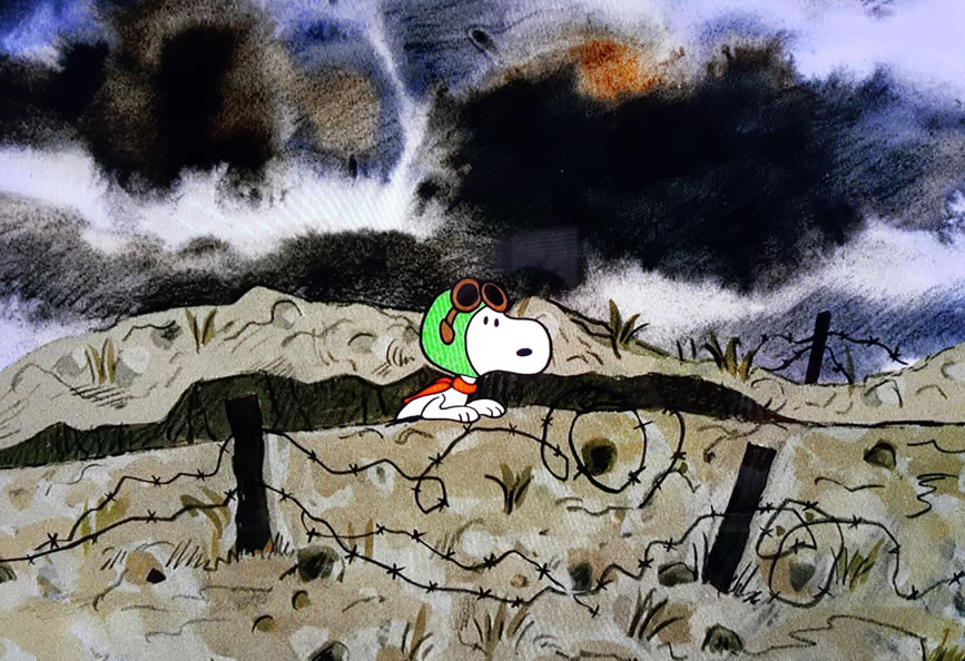
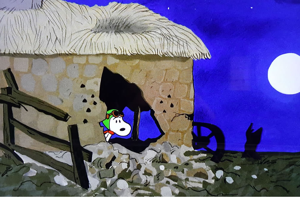
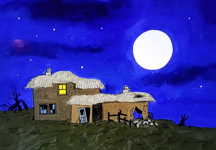
For my Halloween post this year I thought I’d try to figure out where Snoopy – World War One Flying Ace – crash landed in “It’s The Great Pumpkin Charlie Brown.”
When I studied France I was always fascinated by all the small towns that quickly passed by when I was riding the TGV somewhere between Lyon or Besançon and Paris. I remember stopping at one small town when taking the night train; I do not remember the name of it but that it was around 10:00 PM, only one passenger got off; I remember thinking how quiet it was and how small the town was. In fact, it might not have been a town at all but a village, although I don’t think the TGV would stop at a village but who knows.
Since then I’ve always wanted to travel in the French countryside going nowhere in particular. Just stroll into a small town like the one I just mentioned, have a café, read the newspaper, visit the small churches and perhaps even strike up a conversation with a few of the locals. I’d love to visit small memorials and forgotten places of the world wars that are now known only to the villagers.
A trip like this might seem boring to many in the fast place, ADD world we live in. But for me, this would be a dream trip which would only be topped if somehow I could know everything and everyone in the town from its founding and know each and every story that ever took place there.
It is from this fascination that I noticed the signs of real places as Snoopy made his way behind enemy lines after being shot down. I’ve found most of it but am still a little confused by the last sign which I’ll explain.
Interactive Google Map
Now I’ll use pictures from the movie to explain what these points mean:
The first sign we come to is Châlons-sur-Marne. This city is now called Châlons-en-Champagne and is shown by the pin on the above map at the far left. Snoopy is 70 kilometers from there so that puts him crash landing near the middle pin close to Verdun.
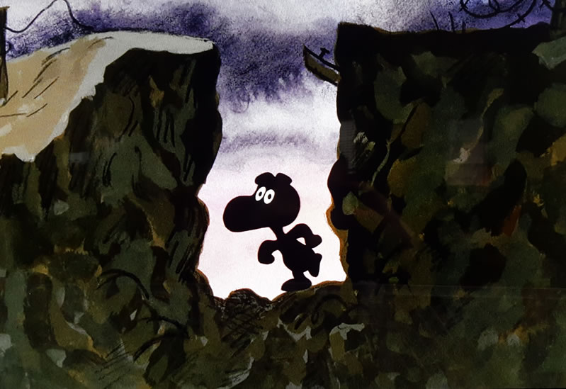
He then travels south east and we know he is still behind enemy lines because he must sneak across by night. He also comes across trenches which puts us right on the front lines.
The best guess is that he is very close to the Armstice line of 11 November 1918. Wikipedia: https://en.wikipedia.org/wiki/Armistice_of_11_November_1918
Next we come to our second sign which is Pont-a-Mousson. On the map above there are two pins close together on the far right. One is Pont-a-Mousson and the other is three km away showing Snoopy’s approximate location.
Then in the next frame there is another sign simply saying La Moselle is 4 km away. There isn’t a town called La Moselle close-by but there is the Moselle river. One detail that is very hard to see is the letters in red – N57. This is for Route national 57 which tells us Snoopy is on this road.
Route national 57
Route Nationale 57 – https://fr.wikipedia.org/wiki/Route_nationale_57_(France)
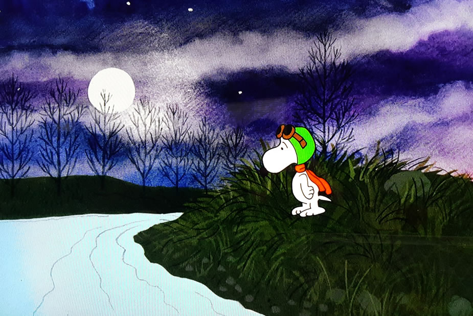
And we then see Snoopy come to a river that he swims across which must be the Moselle.
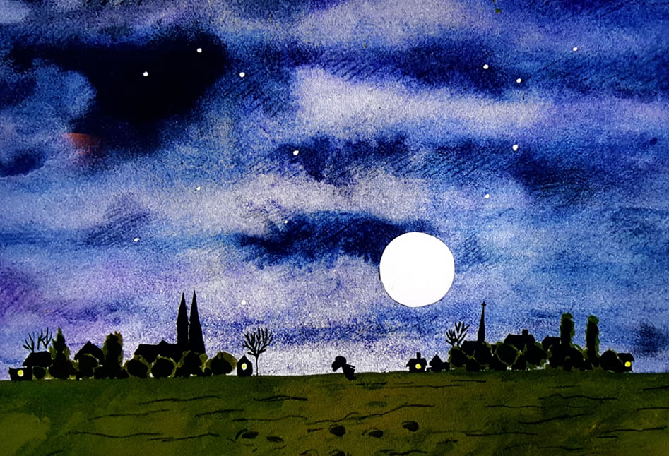
Finally, he sneaks inside the farmhouse and joins the Halloween Party. While at the party Schroeder plays some famous songs from World War One that makes Snoopy pretty emotional.
Schroeder’s World War One Music:
- It’s a Long Way to Tipperary
- There’s a Long, Long Trail A-Winding
- Pack Up Your Troubles in Your Old Kit Bag and Smile, Smile, Smile. (Snoopy smiling on the smile lines)
- Roses of Picardy
Notes:
- Link to the only website I could find that also had information about Snoopy’s path which helped me a little bit. Thank you! https://outermosthouse.wordpress.com/2015/11/11/charles-schulzs-war/
- N57 on Google Maps: Click Here
